Drone Solutions

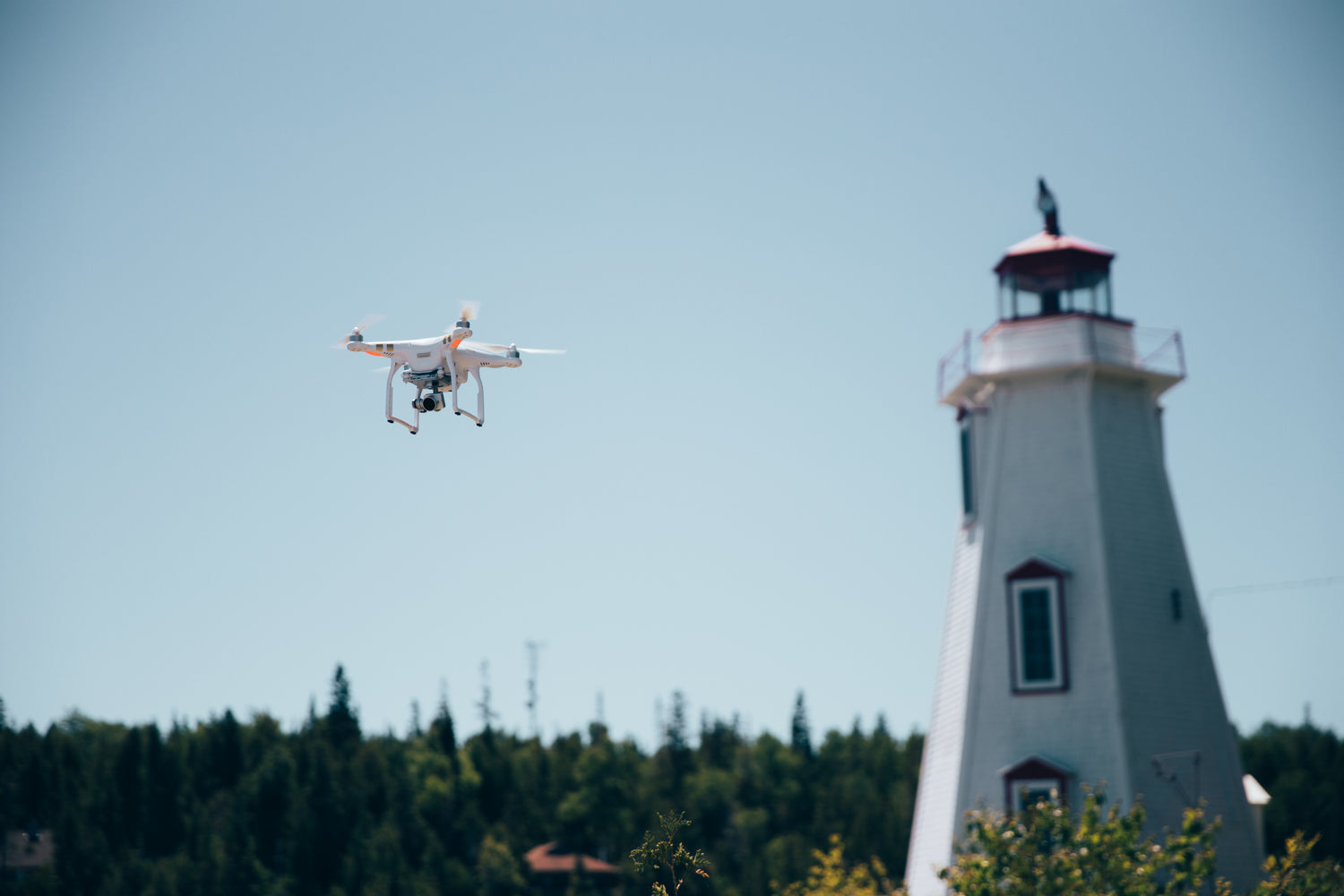
Turnkey Drone Solutions

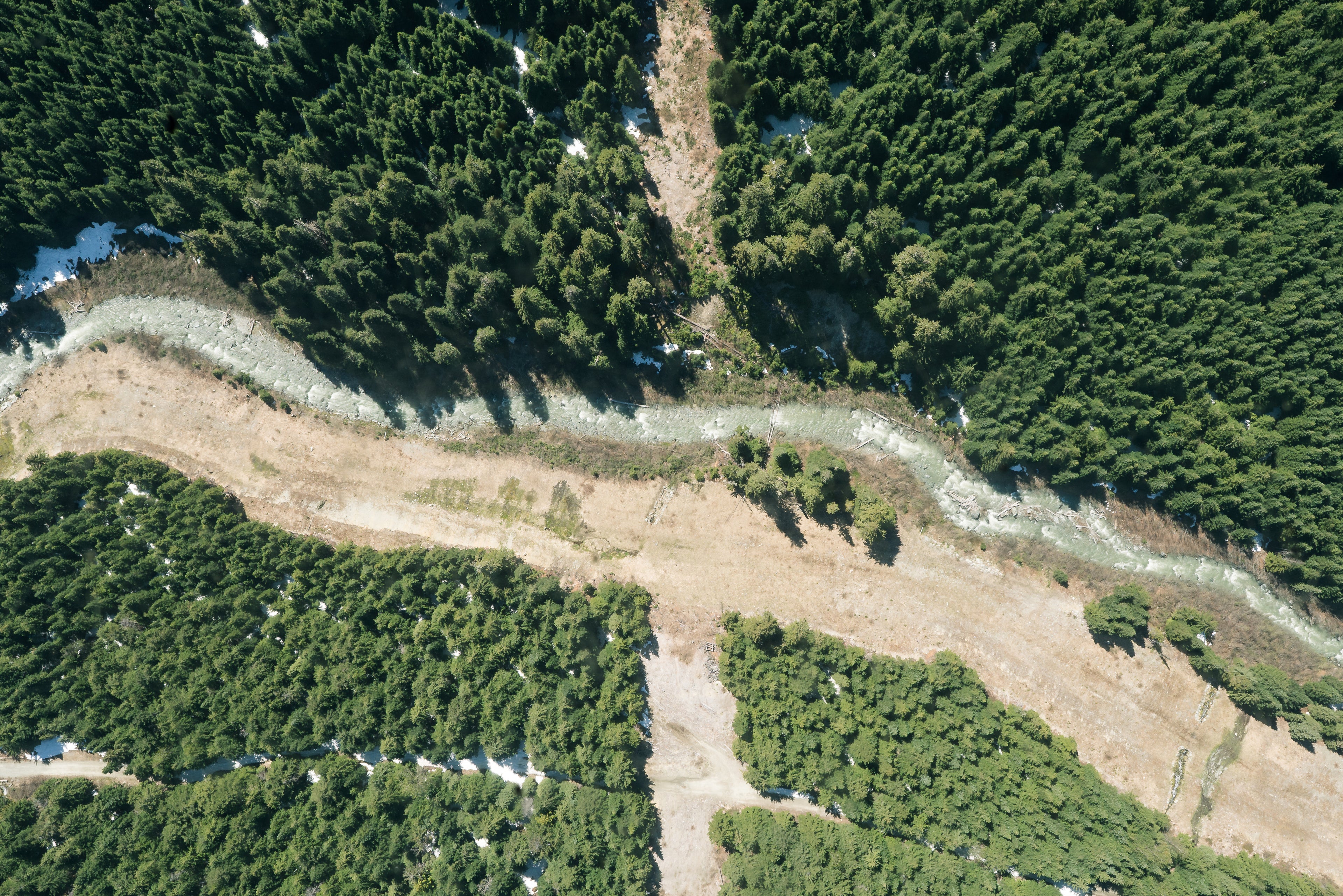
At Fly Hwy, we deliver end-to-end drone solutions designed for agriculture, industry, and public safety. From crop spraying and crop health monitoring to infrastructure inspection, surveying, and emergency response, our drones provide reliable tools that help organizations work smarter, safer, and more efficiently. With training, certification, and maintenance support, we ensure you get the most out of your drone investment—today and into the future.

  • Precision Agriculture

    Monitor crop health, optimize irrigation, and detect pests or disease early with high-resolution aerial imaging and NDVI mapping.

  • Crop Spraying & Seeding

    Use DJI agricultural drones for efficient, targeted spraying and seeding, reducing waste and saving farmers time and labor.

  • Infrastructure Inspection

    Inspect power lines, wind turbines, pipelines, and solar farms safely from the air, reducing risk to workers and minimizing downtime.

  • Land Surveying & Mapping

    Capture accurate aerial data for construction, mining, and land development projects—cutting survey time while improving precision.

  • Public Safety & Emergency

    Support firefighting, search-and-rescue, and disaster relief operations with real-time aerial imaging, thermal cameras, and rapid deployment.

  • Environmental Monitoring

    Track forest health, monitor water resources, and measure land changes to support conservation and sustainable resource management.

Get a Quote